Header data can be enriched with GIS attribute data. This data can then for example be used in queries as geographic constrain. In the BGR (Bio Geographic Regions) map below, values from the attribute 'pre_2012' can be used as selection criterion. GIS attribute values can also be used in expert formulas in the Expert System function of JUICE in Turboveg3.
Note
•Only one shapefile at a time can be processed!
•Only selected plots can be processed.
•Only numerical and alphanumerical data can be extracted
•If an intersection of a plot with the underlying map results in multiple geometries all attribute values, separated by comma's, will be stored.
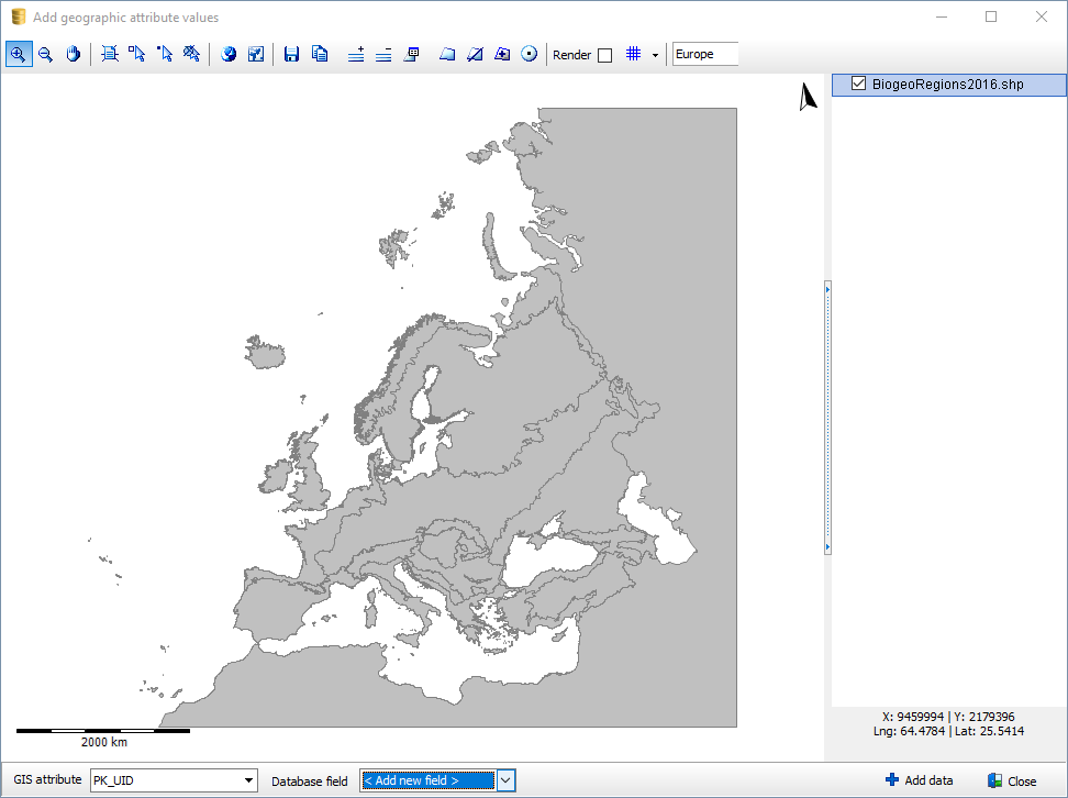
After having loaded a GIS file an attribute needs to be selected and a database field. As database field an existing field van be selected. or a new field can be defined.
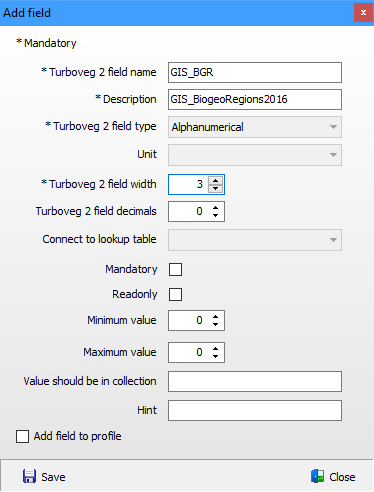
Define a new field
After having selected Add data and as database field the option '< Add new field > ', a field needs to be defined that represents the GIS attribute data in the database. Make sure the field width is large enough to store the longest values, although this is only important to be compatible with Turboveg2.
It is recommended to start the field name and the description with 'GIS_' for easy identification later on.
Check the option Add field to profile to add the field with GIS data automatically to the profile of the selected dataset, otherwise go to Manage profiles to add the field to the appropriate profiles after the import is completed.
Click Save to preserve the information in the database and to start the import process.